

Spatial Signals Podcast - Creating Maps One Line At a Time with Tracy DeLiberty
Show notes for episode 11 of Spatial Signals

These are the show notes for episode 11 of Spatial Signals.
Our guest for this episode is Dr. Tracy DeLiberty from the University of Delaware. We start with a World Regional Geography class at Shippensburg University, then on to remote sensing of the deserts of Arizona. From there we talk about remote sensing of arid lands, the good old days of X-terms and command-line GIS, ArcPlot, teaching high school students with remotely sensed imagery, a digital atlas for Delaware, analyzing irrigation across Delaware, and studying sea ice thickness at the north and south poles.
This episode is available on all the usual places you get your podcasts from (including Apple, Spotify, Amazon Music, Player FM, Podbean, Iheartradio, etc).
The episode is also available to listen to online here.
Your hosts for this episode are Dr. Bradley Shellito, a professor at Youngstown State University and member of OhioView, and Mr. Chris McGinty, the Executive Director of AmericaView. Our editor is Mr. Matt Wozniak and our theme music comes courtesy of Mr. Matthew Maxwell.
For more from the show, check out the following links:
Tracy’s website and contact info
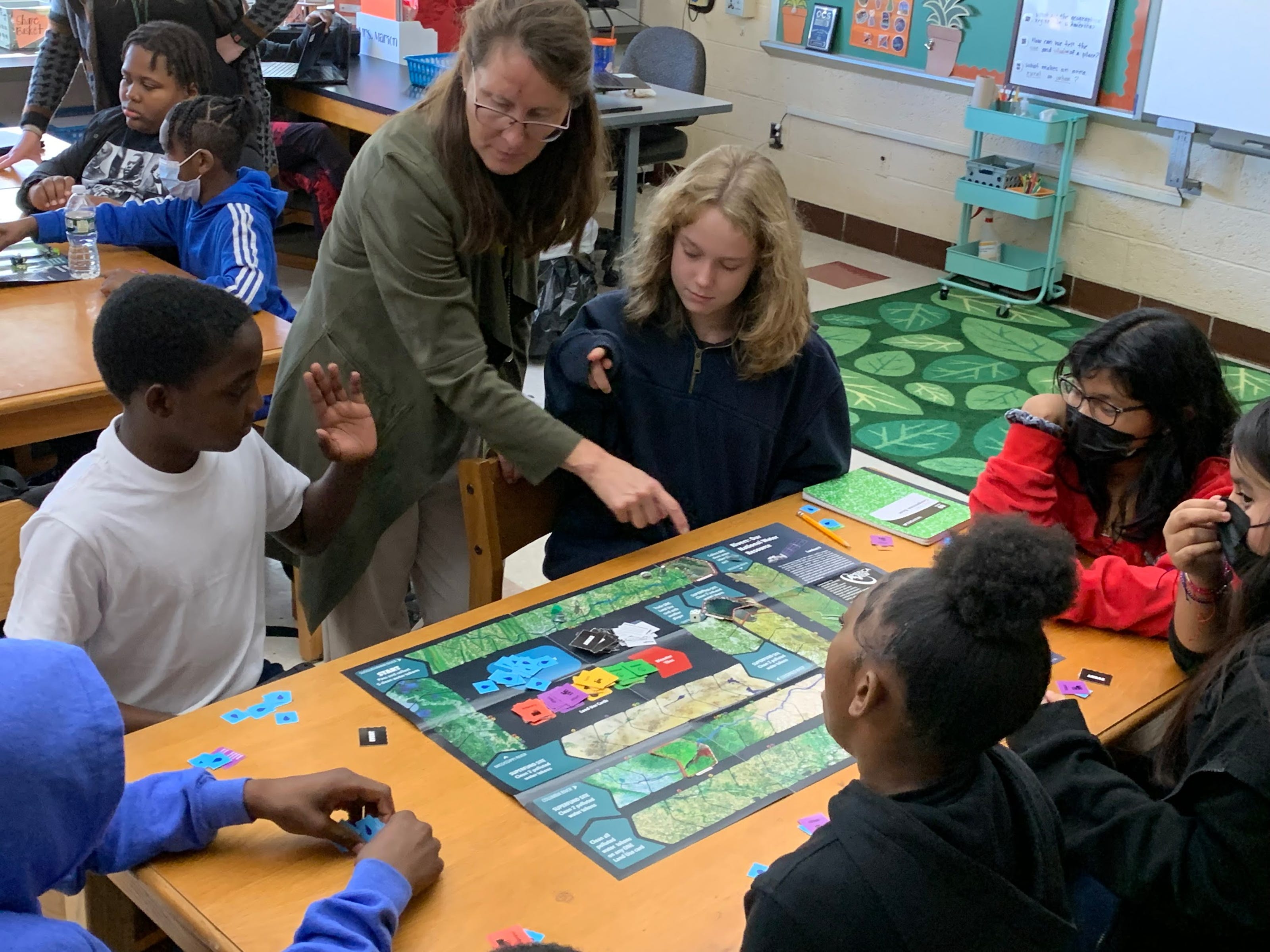
And for this episode’s Origin Story Photo Gallery, here’s Tracy and a group of middle school students playing one of the Earth Observation Day Landsat games:
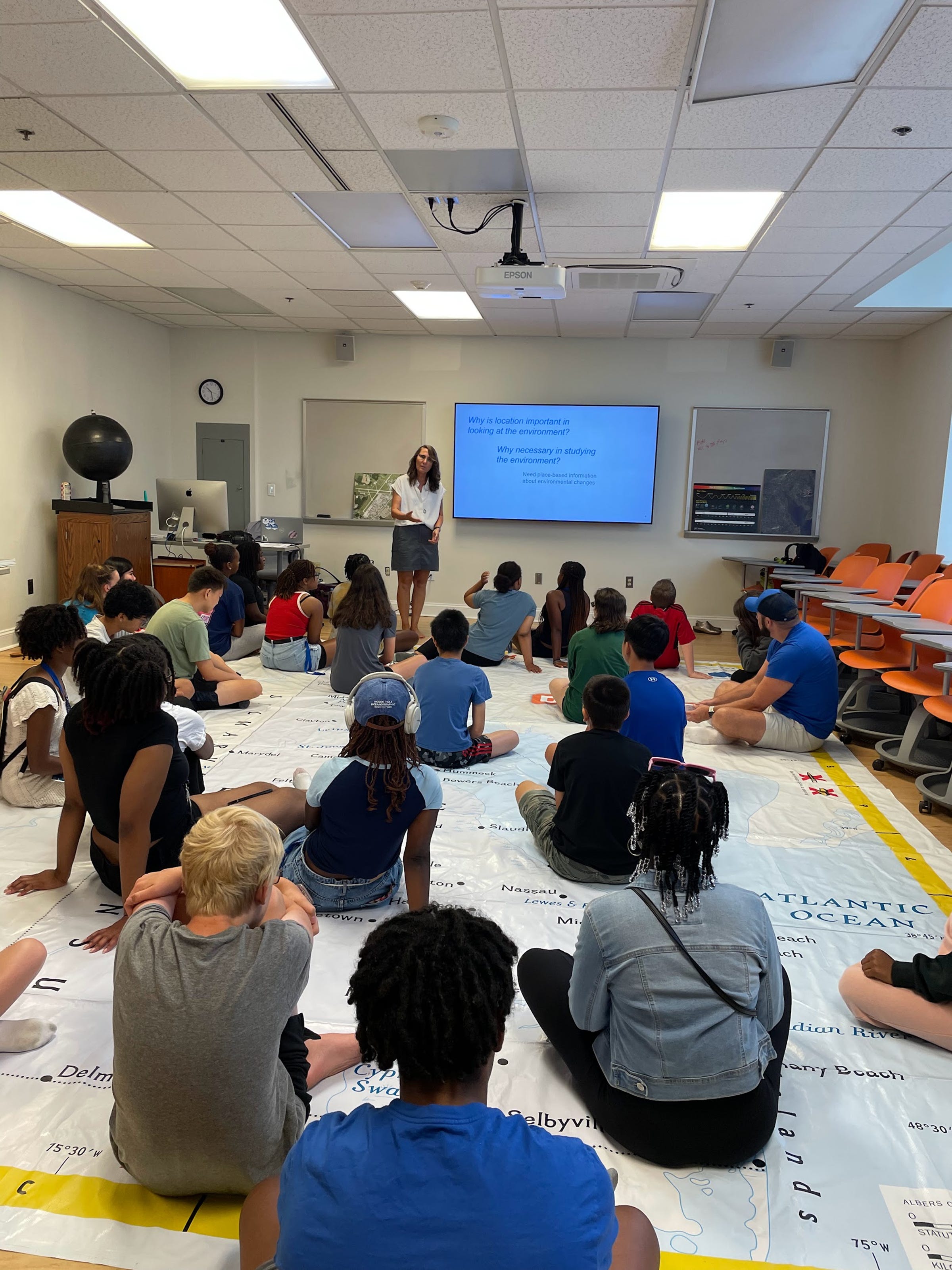
And here’s Tracy engaging high school students in an activity during a summer camp to learn about the importance of location, how to collect it and look at interesting historical, cultural and physical locations across the state of Delaware (note that the students are sitting on a large map of Delaware itself):
Thanks for reading Spatial Signals - AmericaView’s Substack! Subscribe for free to receive new posts and support our work.